COLLECTION NAME:
Selections from the David Rumsey Map Collection I
Record
Identifier:
0122048
Title:
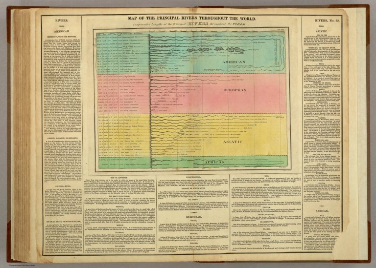
Principal Rivers Throughout The World.
Creator:
Carey, H. C.; Lea, I.
Subject:
Mountains and Rivers
Description:
This was the first American Atlas that was modeled on Le Sage's plan of having explanatory text surrounding the maps. 1st Edition; Fielding Lucas engraved most of the maps. The 1823 edition was unchanged in most copies, a few have minor map updates, and one (see our copy) has all of the 1827 edition maps while still retaining the 1823 title page and most of the text. The 1827 edition includes much new material, with all the maps and text updated, except for the Washington, D.C., and Michigan maps. A French edition by Buchon was published in 1825, an abridged London edition in 1823 (see our copies), and a German edition by C.F. Weiland in 1824-1828 (P1225, Espenhorst 1.6.3). The maps are beautifully drawn and colored. Lucas went on to publish his own General Atlas in 1823, using similar maps but without the text. Rebound into half leather tan paper covered boards with "American Atlas. 1822." stamped in gilt along the spine.
Publisher:
H.C. Carey & I. Lea Philadelphia
Contributor:
David Rumsey Historical Map Collection
Date:
1822
Type:
Atlas Map
Rights:
Cartography Associates
Principal Rivers Throughout The World.
