Who What Where When |
REFINE
Browse All
1-43 of 43
Pub Title
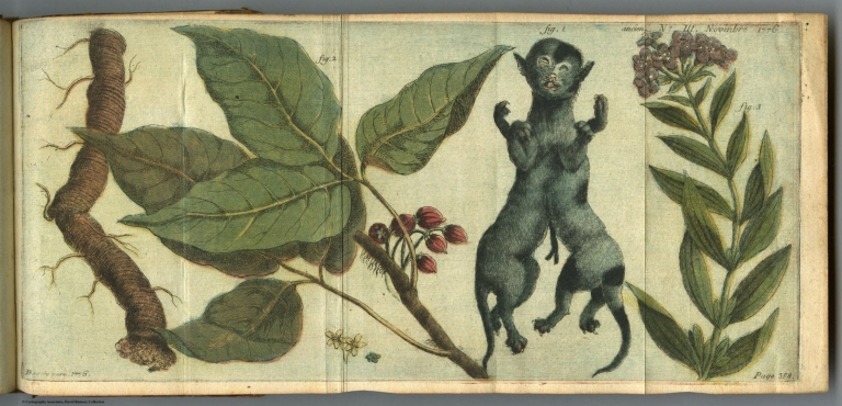
Journal dédié a Monsieur, frère du Roi. Table generale des journaux anciens et modernes, contenant les jugemens des journalistes sur les principaux ouvrages en tout genre; suivi d'observations impartiales, & de planches en taille-douce ou on couleur. Par une Société de Gens des Lettres ... A Paris, Chez Demonville ... M. DCC. LXXVI.
Pub Title
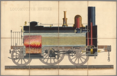
Locomotive engine. Drawn & Engraved by John Emslie. Published Septr. 25th. 1848 by James Reynolds, 174, Strand. London.
Reference
None found.
Pub Title
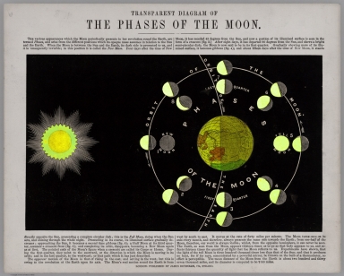
Astronomy. Drawn and engraved by John Emslie. London. Published by James Reynolds 174 Strand; Reeves & Sons; Rocks & Co.; Peacock & Mansfield. (Cover title) Astronomical diagrams.
Reference
None found.
Pub Title
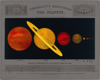
Astronomy. Drawn and engraved by John Emslie. London. Published by James Reynolds 174 Strand; Reeves & Sons; Rocks & Co.; Peacock & Mansfield. (Cover title) Astronomical diagrams.
Pub Title
View of Nature in all Climates, from the Equator to the Arctic Circle. Drawn & engraved by John Emslie. London : Published by James Reynolds. Decr. 7th.1852. (accompanied by) Triangle with analemma adapted to show the sun's declination for every day in the year in all latitudes.
Pub Title
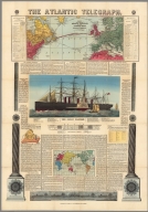
The Atlantic Telegraph. Map Shewing the Atlantic Telegraph, and Other Submarine Cables in Europe and America. Map Showing the Proposed Ocean Telegraphs and Overland Route Around the World.
Pub Title
Cram's Unrivaled Family Atlas of the World. Copyright 1882, by Geo. F. Cram, Chi. Ill.
Pub Title
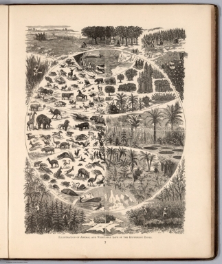
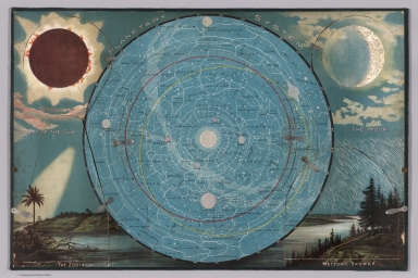
Yaggy's Geographical Study Comprising Physical, Political, Geological, and Astronomical Geography. Published by Western Publishing House. Chicago. Copyrighted 1887.
Pub Title
Yaggy's Geographical Study Comprising Physical, Political, Geological, and Astronomical Geography. Published by Western Publishing House. Chicago. Copyrighted 1887.
Pub Title
Yaggy's Geographical Study Comprising Physical, Political, Geological, and Astronomical Geography. Published by Western Publishing House. Chicago. Copyrighted 1887.
Pub Title
The "World's globe circler". (Gameboard, based on Jules Verne's Around the world in 80 days).
Pub Title
The "World's globe circler". (Gameboard, based on Jules Verne's Around the world in 80 days).
Pub Title
Yaggy's Geographical Portfolio
Pub Title
Route of the Mormon pioneers from Nauvoo to Great Salt Lake, Feb'y 1846-July 1847. Issued by the New Wilson European Hotel, Salt Lake City. Denver Lith. Co. Denver, Colo. Copyright 1899, by Millroy & Hayes. (Cover title) Salt Lake City map and route of the Mormon Pioneers : The New Wilson European Hotel, A. Fred Wey.
Reference
Clinton, Craig. "The Pictorial Maps of Fred A. Routledge", Oregon Historical Quarterly Vol. 117, No. 1 (Spring 2016), pp. 36-75. Read here http://www.ohs.org/research-and-library/oregon-historical-quarterly/upload/03_Clinton_Routledge-Maps_117_1_Spring-2016.pdf
Pub Title
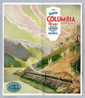
The Scenic Columbia River through the Cascade Mountains to the Pacific.
Pub Title
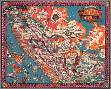
A Map of New York which is Published by the Washington Square Bookshop. Copyright 1925, New York City. Designed by Joseph B. Plat. Ritchey Litho. Corp. N.Y.
Pub Title
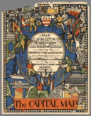
Map of the City of Washington in the District of Columbia Shewing the Architecture and History from the Most Ancient Times Down to the Present by Erwin Olsen and Blake Clark. MCMXXVI. Published by Houghton Mifflin Co., Boston, Mass.
Pub Title
Island of Manhattan from the Battery to 59th Street. Kaj Klitgaard.
Pub Title
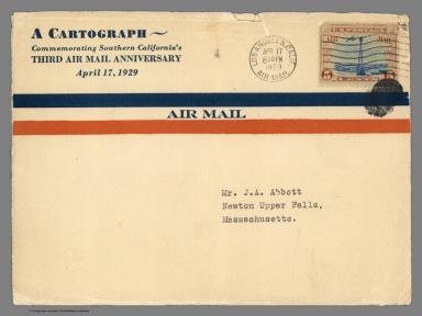
Cartograph of Southern California : showing how the land of sunshine has become so air-minded that everybody flies hither and yon and yon and hither. Cartograph by Ruth t. White. (cover title) Three years old! and one hundred time around the world.(envelope title) A cartograph commemorating Southern California's third air mail anniversary April 17, 1929.
Pub Title
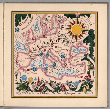
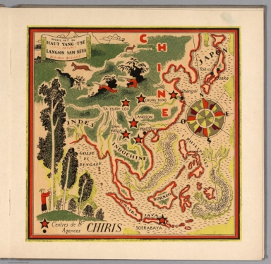
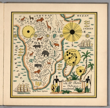
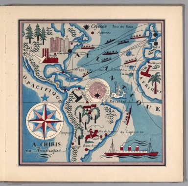
Les Etablissements Antoine Chiris dans le monde; Preface de Georges Lecomte de l'Academie Francaise; Texte historique de G. Mazuyer ; accompagne de 5 cartes illustrees de Lucien Boucher. Edite par les Etablissements Antoine Chiris, 1931.
Pub Title
Les Etablissements Antoine Chiris dans le monde; Preface de Georges Lecomte de l'Academie Francaise; Texte historique de G. Mazuyer ; accompagne de 5 cartes illustrees de Lucien Boucher. Edite par les Etablissements Antoine Chiris, 1931.
Pub Title
Les Etablissements Antoine Chiris dans le monde; Preface de Georges Lecomte de l'Academie Francaise; Texte historique de G. Mazuyer ; accompagne de 5 cartes illustrees de Lucien Boucher. Edite par les Etablissements Antoine Chiris, 1931.
Pub Title
Les Etablissements Antoine Chiris dans le monde; Preface de Georges Lecomte de l'Academie Francaise; Texte historique de G. Mazuyer ; accompagne de 5 cartes illustrees de Lucien Boucher. Edite par les Etablissements Antoine Chiris, 1931.
Pub Title
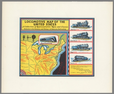
Locomotive Map of the United States.
Pub Title
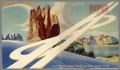
Dolomiti, Belluno, Italia. Summer-Winter.
Reference
Borchardt-Hume, "Albers and Moholy-Nagy: From the Bauhaus to the New World," 2006, Tate Publications, London, p.58.
Pub Title
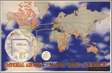
Imperial Airways Map of Empire & European Air Routes. ... Published by Imperial Airways Ltd. I A/P/61-1M 4/37.
Pub Title
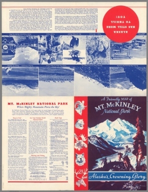
Mt. McKinley National Park, Alaska : the highest peak in North America. Harrison Lucas. 1937 Mt. McKinley Tourist & Transportation Co. (Cover title) A friendly map of Mt. McKinley National Park: Alaska's crowning glory. Litho in U.S.A. Farwest.
Pub Title
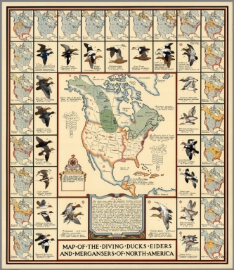
Map, of, the, Diving, Ducks, Eiders and Mergansers, of, North, America. This map designed by Richard E. Bishop and Joseph P. Sims. Copyright 1937.
Pub Title
Mt. McKinley National Park, Alaska. The highest peak in North America. Harrison, Lucas. 1937. Mt. McKinley Tourist & Transportation Co. (Cover title) A friendly map of Mt. McKinley National Park: Alaska's crowning glory. Litho in U.S.A. Farwest.
Pub Title
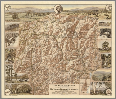
The White Mountains of New Hampshire. Done in the studios of the National Geographic Society for The National Geographic Magazine, Gilbert Grosvenor, editor. Albert H. Bumstead, chief cartographer ; sketches by Margaret B. Austin. , Washington, D.C. July 1937. Copyright 1937 by National Geographic Society. Printed by A. Hoen & Co., Baltimore, Md.
Pub Title
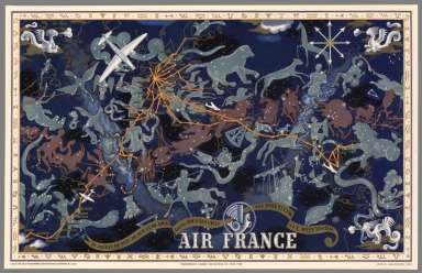
Air France : De jour et de nuit, de nuit et de jour dans tous les ciels : nox post lucem lux post noctem. principales lignes exploitees en 1938-1939. "Ila ete tire de ce planisphere 200 exemplaires numerotes de i a 200." Perceval. 16. rue D'Athenes. Paris.
Pub Title
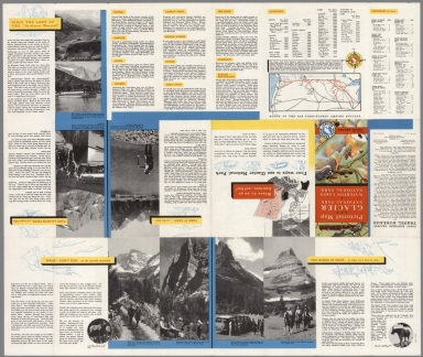
Pictorial Map. Glacier National Park. Waterton Lakes National Park.
Pub Title
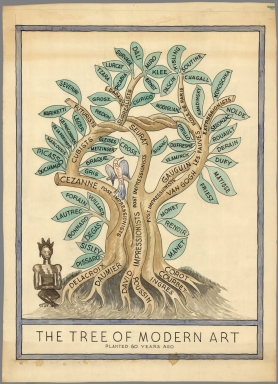
The Tree of Modern Art, Planted 60 Years Ago.
Pub Title
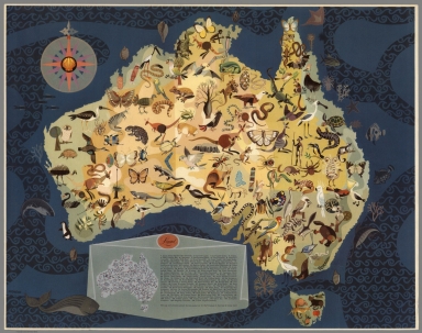
(Australia - Decorative Animals by George Santos).
Pub Title
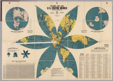
Cram's Air Age. U.S. Centric World. Gingery Projection.
Reference
Tom Harper (Ed)/British Library: Exhibition Catalogue: Maps and the 20th Century: Drawing the Line, p.130 & Pl.77 (Maps C.C.6.a.77)
Pub Title
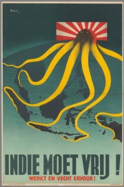
Indie moet vrij! Werkt en vecht ervoor! [The (Dutch East) Indies must be free! Work and Fight for It!]
Pub Title
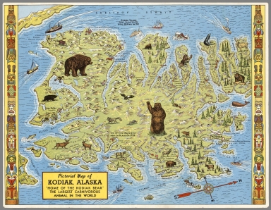
Pictorial Map of Kodiak Alaska, "the Sunshine Isle", Home of the Largest Bear in the World.
Pub Title
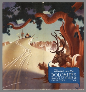
Winter in the Dolomites, District of Bolzano (South Tyrol) Austria.
Pub Title
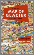
A Pic-Tour Map of Glacier National Park. Where to Go and How to Really See Glacier.
Pub Title
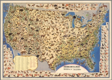
Sportmen's Map of U.S. Wildlife.
Pub Title
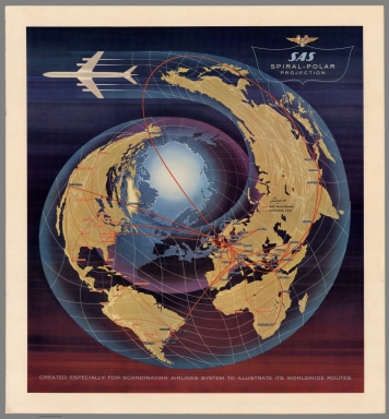
SAS Spiral-Polar Projection. Created Especially for Scandinavian Airlines System to Illustrate Its Worldwide Routes.
Pub Title
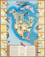
Bird Migration Map of North America.
Pub Title
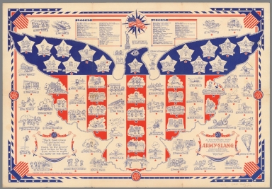
A Pictorial Map of Scenes in and around Army-Slang, designed and published by Ernest Dudley Chase of Winchester, Massachusetts, U.S.A. collaborating with Stephen York. Copyright 1943. Ernest Dudley Chase, Winchester, Mass. (cover title) In good old Army Slang : Hello and how're you doin'!. The Good Old Army Slang Paves The Way To Victory.
1-43 of 43
|
